The area of Saint Petersburg city proper is 605.8 km2 (233.9 square miles). The area of the federal subject is 1,439 km2 (556 sq mi), which contains Saint Petersburg proper (consisting of eighty-one municipal okrugs), nine municipal towns – (Kolpino, Krasnoye Selo, Kronstadt, Lomonosov, Pavlovsk, Petergof, Pushkin, Sestroretsk, Zelenogorsk) – and twenty-one municipal settlements.
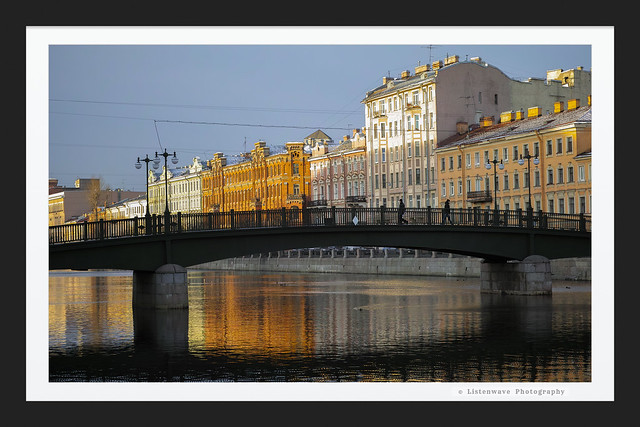
Petersburg is on the middle taiga lowlands along the shores of the Neva Bay of the Gulf of Finland, and islands of the river delta. The largest are Vasilyevsky Island (besides the artificial island between Obvodny canal and Fontanka, and Kotlin in the Neva Bay), Petrogradsky, Dekabristov and Krestovsky. The latter together with Yelagin and Kamenny Island are covered mostly by parks. The Karelian Isthmus, North of the city, is a popular resort area. In the south Saint Petersburg crosses the Baltic-Ladoga Klint and meets the Izhora Plateau.
The elevation of Saint Petersburg ranges from the sea level to its highest point of 175.9 m (577 ft) at the Orekhovaya Hill in the Duderhof Heights in the south. Part of the city's territory west of Liteyny Prospekt is no higher than 4 m (13 ft) above sea level, and has suffered from numerous floods. Floods in Saint Petersburg are triggered by a long wave in the Baltic Sea, caused by meteorological conditions, winds and shallowness of the Neva Bay. The five most disastrous floods occurred in 1824 (4.21 m or 13 ft 10 in above sea level, during which over 300 buildings were destroyed[b]), 1924 (3.8 m, 12 ft 6 in), 1777 (3.21 m, 10 ft 6 in), 1955 (2.93 m, 9 ft 7 in), and 1975 (2.81 m, 9 ft 3 in). To prevent floods, the Saint Petersburg Dam has been constructed.
Since the 18th century the city's terrain has been raised artificially, at some places by more than 4 m (13 ft), making mergers of several islands, and changing the hydrology of the city. Besides the Neva and its tributaries, other important rivers of the federal subject of Saint Petersburg are Sestra, Okhta and Izhora. The largest lake is Sestroretsky Razliv in the north, followed by Lakhtinsky Razliv, Suzdal Lakes and other smaller lakes.
Due to its northerly location at ca. 60° N latitude the day length in Petersburg varies across seasons, ranging from 5 hours 53 minutes to 18 hours 50 minutes. A period from mid-May to mid-July when twilight may last all night is called the white nights.
Saint Petersburg is about 165 km (103 miles) from the border with Finland, connected to it via the M10 highway.
Climate
Main article: Climate of Saint Petersburg
Under the Köppen climate classification, Saint Petersburg is classified as Dfb, a humid continental climate. Distinct moderating influence of the Baltic Sea cyclones result in warm, humid and short summers and long, moderately cold wet winters. The climate of Saint Petersburg is close to that of Helsinki, although colder in winter and warmer in summer because of its more eastern location.
The average maximum temperature in July is 23 °C (73 °F), and the average minimum temperature in February is −8.5 °C (16.7 °F); an extreme temperature of 37.1 °C (98.8 °F) occurred during the 2010 Northern Hemisphere summer heat wave. A winter minimum of −35.9 °C (−32.6 °F) was recorded in 1883. The average annual temperature is 5.8 °C (42.4 °F). The Neva River within the city limits usually freezes up in November–December and break-up occurs in April. From December to March there are 118 days average with snow cover, which reaches an average snow depth of 19 cm (7.5 in) by February.[47] The frost-free period in the city lasts on average for about 135 days. Despite St. Petersburg's northern location, its winters are warmer than Moscow's due to the Gulf of Finland and some Gulf Stream influence from Scandinavian winds that can bring temperature slightly above freezing. The city also has a slightly warmer climate than its suburbs. Weather conditions are quite variable all year round.
Average annual precipitation varies across the city, averaging 660 mm (26 in) per year and reaching maximum in late summer. Soil moisture is almost always high because of lower evapotranspiration due to the cool climate. Air humidity is 78% on average, and there are, on average, 165 overcast days per year.